

 Image 1 of 1
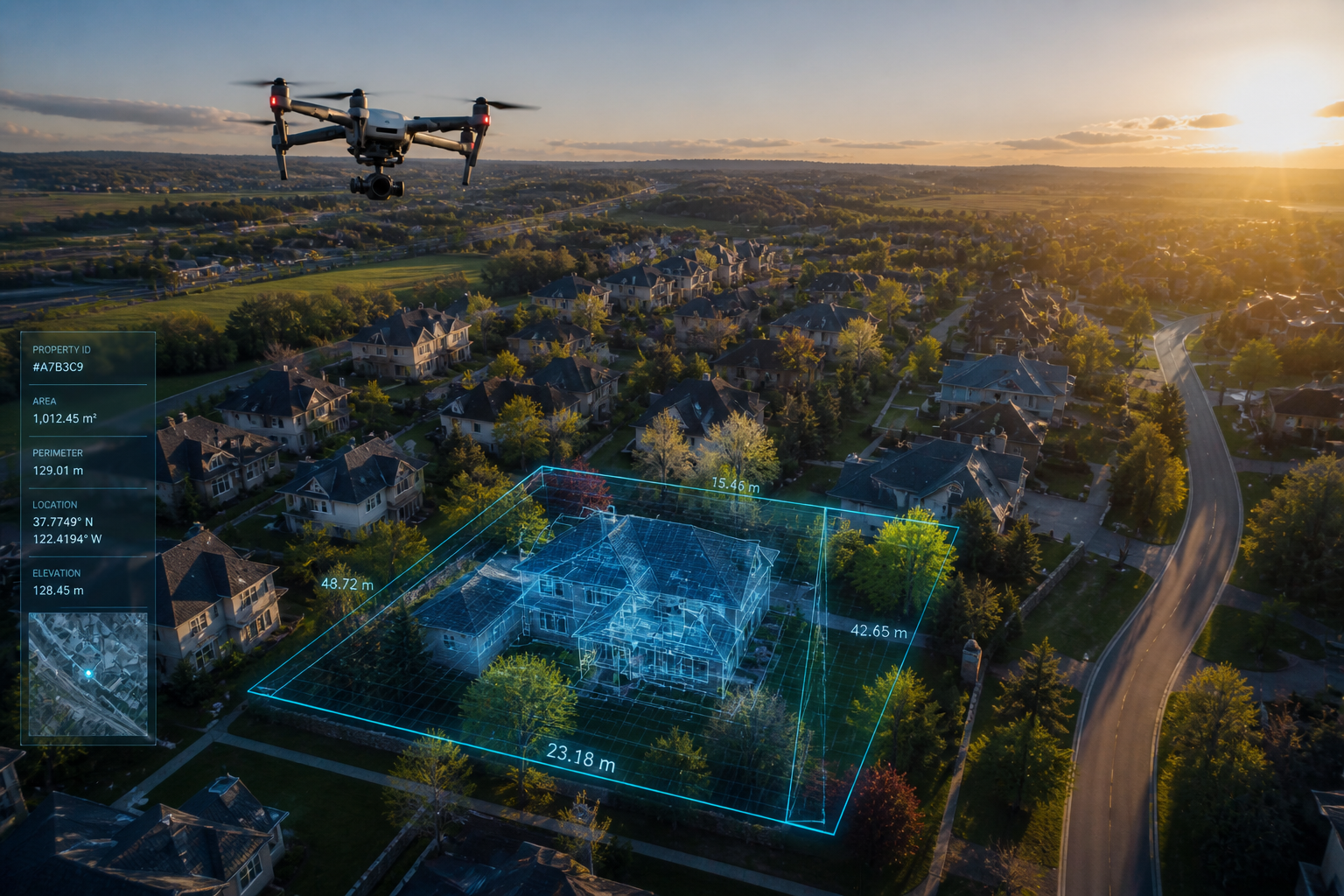
Smarter site intelligence. Safer decisions.
Aurevo’s Inspection & Mapping services provide detailed aerial data collection to support safer, faster, and more informed decision-making.
From roof inspections to land analysis and site mapping, drone technology allows you to access critical visual information without unnecessary risk, delays, or expensive traditional methods.
Our inspection and mapping solutions help property owners, contractors, and project teams assess conditions, identify issues, and gather actionable site intelligence with precision.
Ideal for:
Roof inspection
insurance documentation
landowners
developers
construction teams
engineers
property managers
Deliverables may include:
inspection imagery
high-resolution aerial photos
site mapping
orthomosaic maps
progress overlays
condition documentation